Dr. Jim Tucker - Semi-arid carbon stocks of 9.9 billion trees from 326,000 commercial satellite images

Overview
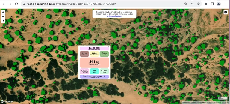
I will describe the successful combining of commercial satellite data, machine learning, high-performance computing, and field measurements that enabled the carbon content of ten billion semi-arid trees to be estimated with an uncertainty of ±20% over an area of 10 million km 2. Our results differ from all previous studies using satellite observations and from those based on numerical simulation models. Our voluminous output data required the development of a viewer for understanding what we did, for verification of our tree mapping, and for others to use our results. Because of our extensive training data, we found minimal improvement adding additional satellite data and from cloud & aerosol screening. Our results appeared in the March 2, 2023 issue of Nature.

Bio
Compton Tucker, a native of Carlsbad, New Mexico, came to NASA/Goddard as a postdoctoral fellow in 1975 after receiving his Ph.D. degree from Colorado State University and in 1977 became an employee of NASA. At NASA/Goddard, Tucker has used satellite data to study the Earth in research areas that include famine early warning and food security, deforestation, glacier area, ecologically-coupled diseases, and the carbon cycle. He took part from 2002 to 2012 in NASA’s Space Archaeology Program, leading a group that assisted archaeologists mapping ancient sites with ground-penetrating radar and
magnetometry in Turkey, at the sites of Troy, in the Granicus River Valley, and at Gordion, the home of King Midas. Since 2014, he has devoted most of his time complimenting NASA satellite observations with commercial satellite data.