Global biological diversity is under enormous and increasing threat from habitat loss caused by land use and climate change. Responding to this problem requires strategies that integrate elements of governance, economics, human welfare, and other societal factors. It also requires the use of geographically explicit approaches to generate safe havens for biodiversity, both in the long-term and as immediate barriers to the ongoing extinction crisis.
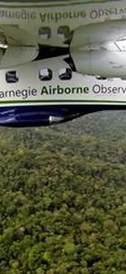
Prioritization of new regions for protection is often undertaken with incomplete and/or outdated information on the geography of biodiversity. In response, Greg Asner and colleagues have created and utilized a novel capability to map forest biodiversity using their technique called airborne laser-guided imaging spectroscopy (LGIS) derived from their Carnegie Airborne Observatory (CAO) platform. Their first map covered the Peruvian Andes-Amazon region, a global biodiversity hotspot, providing a spatially comprehensive opportunity to assess the efficacy of current forest protections.
The CAO is the most scientifically advanced mapping and data analytics program operating in the civil sector today. The CAO airborne laboratory is equipped with the Airborne Taxonomic Mapping System, or AToMS, which integrates unique visible to shortwave Infrared imaging spectrometers with laser scanning and high-resolution camera sensors capable of collecting three-dimensional biodiversity data at fine spatial resolution.
With support from the Leonardo DiCaprio Foundation, Asner and his team will generate forest biodiversity maps of the Ecuadorian Andes-Amazon region, which will be combined and integrated with the existing similar map for Peru. A similar set of maps will be generated for the Malaysian Bornean state of Sabah and the California Sierra Nevada mountains. These new biodiversity maps will be integrated into planned conservation activities among the partnering organizations of the Nature Needs Half initiative.
