Bermuda: Under the Surface

There is a real mystery beneath Bermuda
Not the Bermuda Triangle. Not lost ships or strange legends. But a hidden geologic structure deep below the island that may explain why Bermuda still rises above the Atlantic Ocean more than 30 million years after its volcanoes went quiet.
Carnegie Science researchers have been working to uncover this mystery using seismic waves from earthquakes to image what lies beneath the island. This month they are returning to Bermuda to check on instruments placed across the nation and collect new data that could bring the hidden structure into sharper focus.
Follow along as Carnegie Science’s Communications team joins researchers in Bermuda for a behind-the-scenes look at the fieldwork, the science, and the story of a beautiful and mysterious volcanic island.
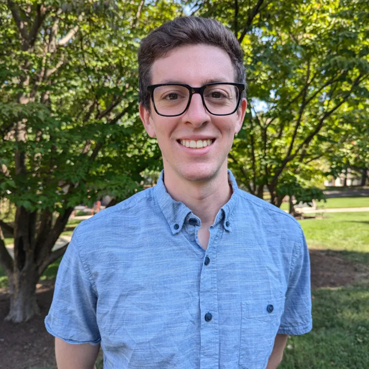
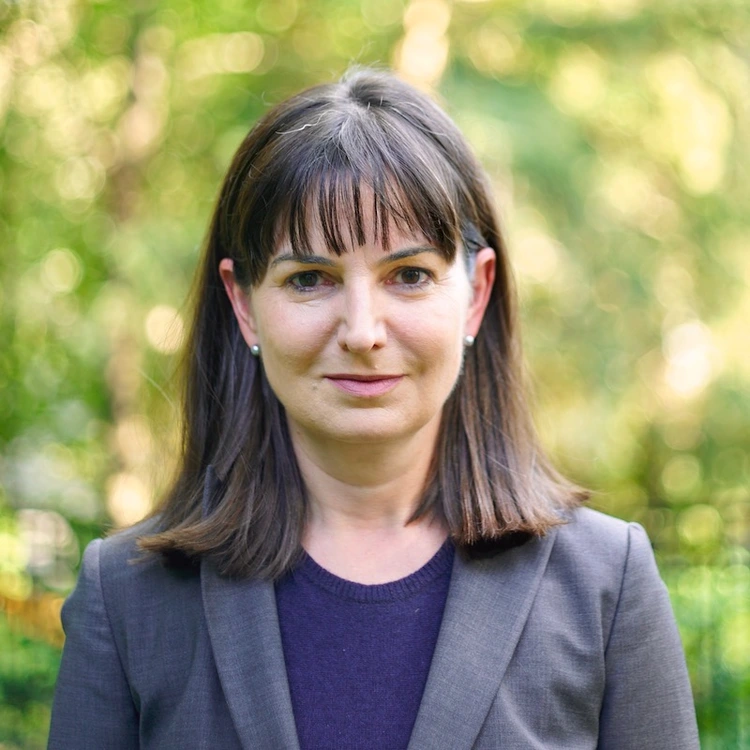
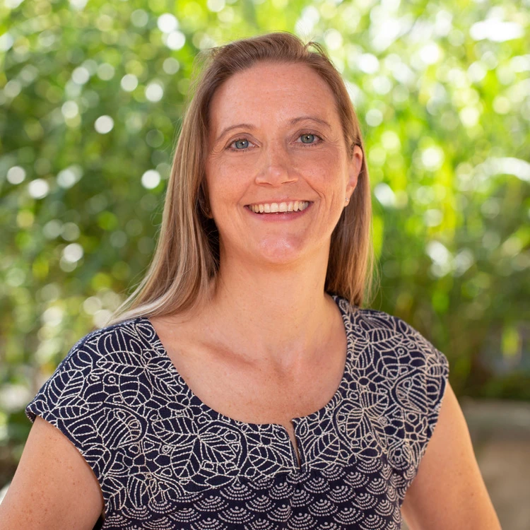
Meet the Scientists

How is Bermuda still standing?
Most volcanic island chains, like Hawai‘i, form above mantle plumes—columns of hot, buoyant rock that rise from deep within the Earth. These plumes create volcanoes and lift the seafloor into broad raised regions called swells.
But Bermuda does not fit that familiar story.
The island’s last volcanic eruption happened more than 30 million years ago. There is no evidence of an active mantle plume beneath it today. And yet Bermuda still sits atop a broad swell, standing roughly 1,600 feet higher than the surrounding ocean floor.
For decades, scientists have wondered: What is holding Bermuda up?
How We Study What We Can’t See
Scientists can't drill 20 miles beneath Bermuda to see what is there. Instead, they use seismic waves from earthquakes, essentially performing an ultrasound on the planet's interior.
As these waves travel through Earth, they move faster or slower depending on the density, temperature, and composition of the materials they pass through. Sensitive instruments called seismometers record those changes, allowing researchers to build images of structures buried deep below the surface.

We found a hidden layer beneath Bermuda
William Frazer, a seismologist at Carnegie Science, along with Jeffrey Park of Yale University, analyzed seismic waves recorded by Bermuda's single seismic station and found something unexpected: a layer of rock more than 12 miles thick sitting just below the oceanic crust. This layer appears to be less dense than the surrounding mantle, making it unusually buoyant.
That buoyancy may help explain why Bermuda remains elevated long after volcanic activity ended.
The researchers think this hidden layer, known as an underplate, formed during Bermuda’s volcanic past tens of millions of years ago. Carbon-rich molten rock may have risen from the mantle, pushed into the base of the crust, and cooled there, creating a thick, buoyant layer beneath the island.
The finding challenges the classic mantle plume explanation for volcanic islands and suggests that other deep-Earth processes may help shape the surface.
Why return to Bermuda?
To better understand Bermuda’s deep structure and compare it with other volcanic islands, Frazer, along with Carnegie Staff Scientists and Harry Oscar Wood Co-Chairs of Seismology Diana Roman and Lara Wagner; partnered with the Government of Bermuda, the Bermuda Institute of Ocean Sciences (BIOS); and the Bermuda Aquarium, Museum and Zoo to deploy 10 portable seismometers across the island in February 2026.
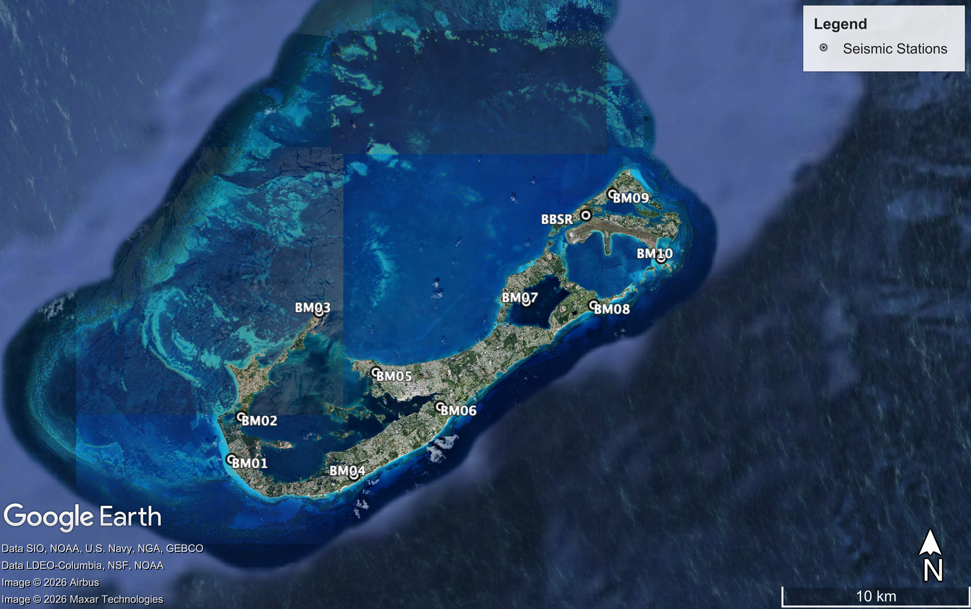
The expanded network moves the project beyond the limits of a single seismic station, allowing the team to compare signals from different parts of Bermuda, locate small earthquakes more precisely, and collect the data needed to better understand the hidden structures beneath the island.
Now, the team is returning to check on the instruments, make sure they are functioning properly, and to collect the first major data set.

Why It Matters
Bermuda may help reveal hidden processes inside Earth.
The archipelago could be one of a kind. Or it could be the first known example of a broader geological process that has been overlooked and is missing from plate tectonic theory.
By studying places that do not fit existing models, Carnegie scientists can test long-standing ideas about how Earth works—and uncover new processes shaping our planet from the inside out.

Partnerships across Bermuda
This work depends on close collaboration between Carnegie Science researchers and local partners across Bermuda. To better understand the earthquakes occurring beneath the island, William Frazer, Diana Roman, and Lara Wagner worked in close collaboration with the Government of Bermuda, the Bermuda Institute of Ocean Sciences, and the Bermuda Aquarium, Museum and Zoo to deploy a temporary network of 10 portable seismometers across the island in February 2026.
