Object 11 | Bermuda Cahiers

In the summer of 1907, Harlan Wilbur Fisk, an expert “magnetician,” packed up the tools of his trade—a magnetometer, a dip circle, a pocket chronometer, an observing tent, and a camera—and boarded a ship for Bermuda. His mission? To investigate the island’s magnetic anomalies.
Scientists had known something was off with Bermuda’s magnetic readings since at least 1873, when the HMS Challenger made a stop during its famous oceanographic expedition and noted odd variations in compass behavior. This enticing mystery fell squarely in the wheelhouse of Carnegie’s newly established Department of Terrestrial Magnetism (DTM)—now part of the institution’s Earth and Planets Laboratory (EPL).
Launched in 1905 by DTM founder Louis Agricola Bauer with a scope he described as "embracing the whole globe," Carnegie's World Magnetic Survey set out to map the Earth's entire geomagnetic field. Fisk's Bermuda trip was one small piece of this extraordinarily ambitious undertaking.
Over five weeks on the island, Fisk completed observations at five primary stations and 77 secondary ones. Station by station, across the rocks and coastlines of Bermuda, he took precise measurements of the direction and strength of the magnetic field—declination, inclination, and horizontal magnetic intensity. At every stop, he recorded his readings by hand in small field notebooks called cahiers.
Those cahiers, along with a remarkable set of expedition photographs, are object No. 11 in our #Carnegie125 series.


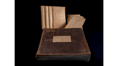
Cahiers and album
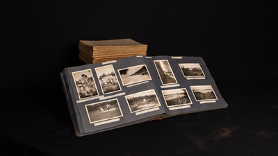
Cahiers and album
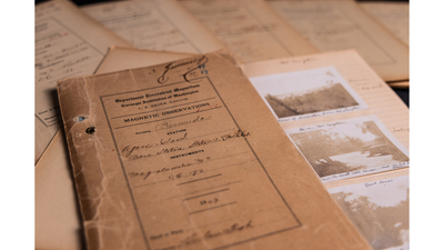
Cahiers
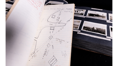
Cahiers and album
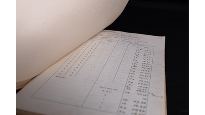
Cahier
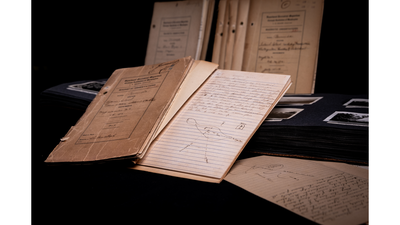
Cahiers and album
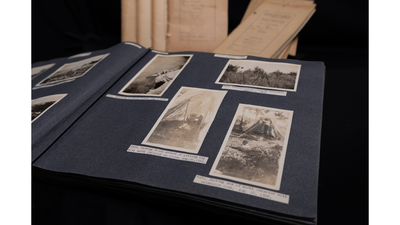
Cahiers and album
Over the next four decades, DTM dispatched magnetic observers like Fisk on more than 200 overland expeditions and 10 ocean cruises, collecting magnetic data from every continent and some of the most remote places on Earth—the African interior, the Australian outback, the mountains of China. Carnegie's World Magnetic Survey sought to answer fundamental questions about the Earth's magnetism, its origin, and why it changes over time and space.
On every expedition, experts like Fisk collected geomagnetic field data that were recorded in cahiers, along with geographic coordinates and sketched maps of the exact locations where magnetic readings were made. Complementary photographs, taken from multiple vantage points and later compiled into albums titled “Views in Foreign Lands,” documented each site visually. The reason for all this precision was practical. If researchers ever needed to return to the same spot years later to compare readings, they had to be able to find it again.

Founder of the Department of Terrestrial Magnetism Louis Agricola Bauer in the field in Ceylon in 1911. Bauer described the scope of the department as "embracing the whole globe."

World Magnetic Survey expedition through China

World Magnetic Survey expedition through Australia

Louis Agricola Bauer
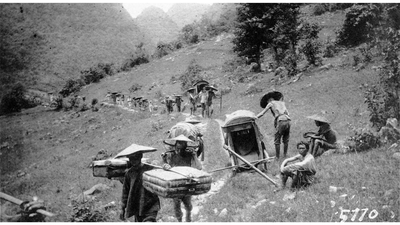
China Magnetic Expedition
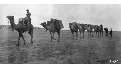
Australia Magnetic Expedition
Fisk returned to Bermuda in 1922, this time as Chief of the Land Magnetic Survey, with an assistant named J.T. Howard and a new instrument—a compass-variometer developed in DTM's own machine shop—which allowed rapid, precise measurements at stations spaced just feet apart. He reoccupied all five of the original primary stations and more than 100 auxiliary ones, producing still more cahiers and photographs along the way.
By the time of this visit, a borehole drilled in 1912 had recovered igneous rock from below the island, and Fisk could state that “The island is a submerged mountain of volcanic origin.” His field measurements found that the magnetism of the limestone and the topsoil on the island were insufficient to explain Bermuda’s magnetic anomalies, and he concluded that “there are, therefore, a major or primary source of disturbance lying deep in the lower structure of the submerged mountain.”
Fisk’s findings and a narrative account of his expeditions were published by Carnegie Science as part of the 26-volume series Researches of the Department of Terrestrial Magnetism. His research stands among the first major geophysical explorations of Bermuda, raising as many questions as it answered.


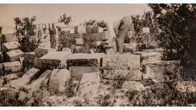
Fisk in Bermuda
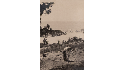
Fisk in Bermuda

Compass Variometer
Almost 120 years after Fisk first arrived in Bermuda with his magnetometer and observing tent, Carnegie postdoc William Frazer and Staff Scientist Diana Roman, one of Carnegie's inaugural H.O. Wood Chairs of Seismology, have returned to the island, deploying a network of Carnegie-developed portable seismometers called Quick Deploy Boxes to probe the volcanic mystery hidden beneath its surface.
And back in Washington, safely tucked away in the Carnegie Science Archives, the cahiers and photograph albums from Fisk's expeditions remain alongside records from dozens of other expeditions conducted as part of the World Magnetic Survey. Together, they document one of the great scientific field campaigns of the 20th century, preserved in handwriting and photographs.
